


Back to places
Argentina
Patagonia
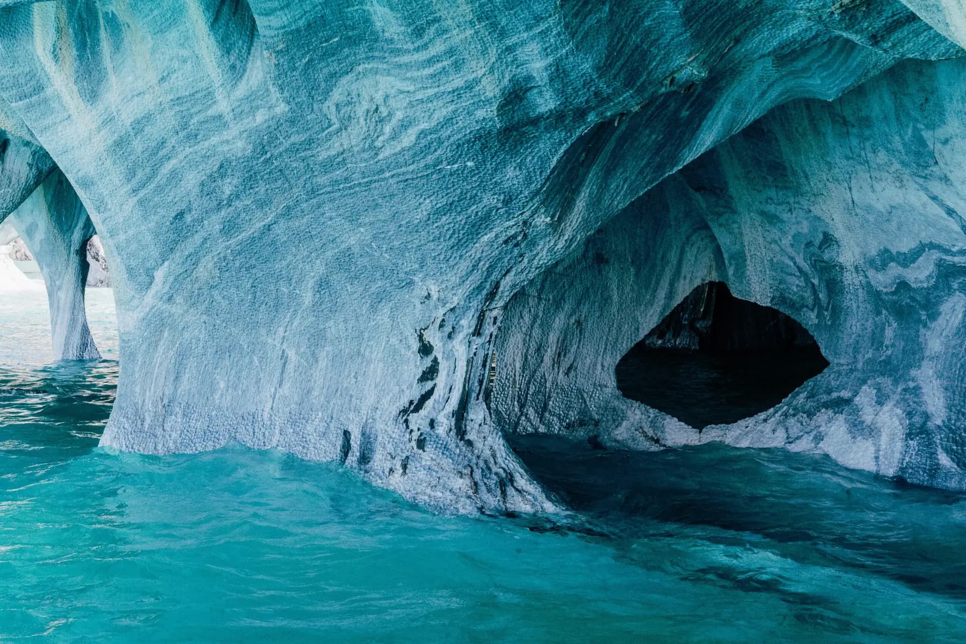
Patagonia, a sparsely-populated region at the southern end of South America, comprises the Patagonian Desert, a portion of the Andes mountains, grasslands and pampas. It is bounded by the Atlantic and Pacific coasts in the east and west, and by the Reloncaví Estuary (Chile) along with the Colorado and Barrancas Rivers (Argentina) in the north.
Know before you go
Best time & quick facts
- Currency
- Language
- Spanish
- Time zones
- UTC-3
- Power plugs
- Type C, I · 220 V
- Getting around
- Drive on the right
- Visa (US citizens)
Check entry requirements for U.S. citizens before you go
Entry requirements on travel.state.gov
Argentina
Top places
Where to stay in El Calafate
Weather in Patagonia
Upcoming forecast, not historical monthly climate averages
Loading forecast…
Check live weatherForecast data: Open-Meteo. Conditions can change.
Map of Patagonia
Places from this trip — tap a pin for details
From the journal
Sources: Wikivoyage · Wikidata · U.S. State Department · CDC Travelers' Health. Experiences from Viator, hotels from Nuitee. Facts refresh weekly.